
Garmin Overlander sat nav tested: old hardware, great software
Does a sat nav still make sense in the age of Google Maps? Yes, if you want to arrive more relaxed. Do you have to leave over 700 euros for it? No, not really. Nevertheless: a test of a brand new GPS car navigation system from Garmin.
The advert promises a lot. The Garmin Overlander navigation device is supposed to open up the world to you. No corner should remain hidden. You should never get lost. Because, according to the voiceover in the advert, people are not made for barriers and borders. We are meant to discover.
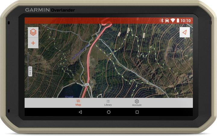
I highly agree with the statement on the topic of "discovery" on an idealistic level. Get out of your comfort zone. Do something that you don't expect yourself to do. You don't necessarily need a sat nav to do this, but if finding your limits involves a car journey, then it can help. All right, back to the topic. Garmin Overlander. A thing that is something between a tablet and a GPS.

The test is a good idea, because I have to get from Zurich to Munich within a few hours to a hotel I've never heard of. The reason for this is another device that also runs Android.
One piece of advice before we let loose here and you start travelling. Before you start using the Overlander, charge it and run an update from your home Wi-Fi. The map pack update is currently 12 gigabytes in size and a software update is also available. As the Overlander can only connect to 2.4 GHz networks, it takes quite a long time to download the maps. As I'm writing this, before the Munich trip, the Overlander is updating behind me. With 2.4 GHz and an optimised network infrastructure, a WLAN can transfer data at a maximum of 600 Mbps, i.e. 75 megabytes per second. Ideally, it would take 160 seconds to download the 12 gigabytes of data. The ideal case does not materialise. It takes significantly longer.
What's inside the Garmin Overlander?
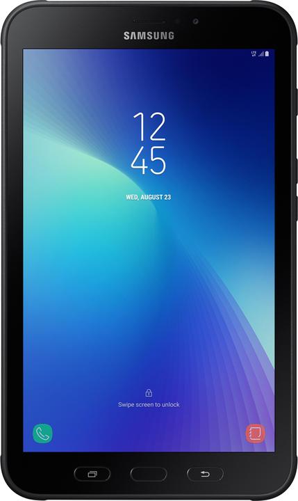
When I start the Overlander, I notice that it is only slightly different from a standard tablet. There is the case with shock absorber, which gives the whole thing a somewhat robust impression. Funnily enough, however, it is only IP5X certified. This means that it is only partially protected against the ingress of dust and particles. And the "X" means that it has no special protection against moisture. This is probably because a large, open speaker is installed at the back.

It is drop-proof up to 26 times from a height of 1.20 metres, because the Overlander is MIL-STD-810 certified, which says exactly that. Among other things. The version of the 810 test is not given, but I'm just going to assume that it's version G, as F was declared obsolete in 2008.
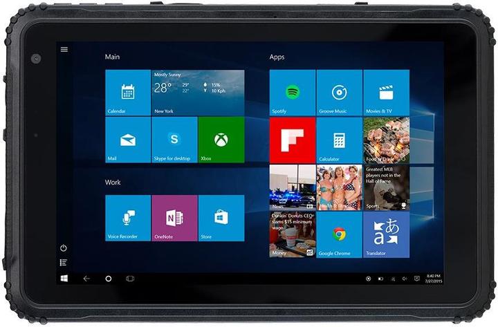
In other words, there are tablets that cost far less and are far more stable. But before you drop a lot of money on a tablet, wait a moment and finish reading this article. As soon as we're done with the tech blah-blah, the big "but" will come.
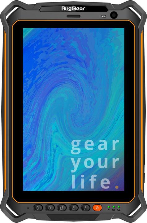
If you want one that's just as big as the Overlander but can take a lot more, but costs a lot more, then the RugGear is the one for you.
The question arises as to what the Overlander actually contains. Because Garmin is holding back with the full specs. That's why I let CPU-Z run over the device. CPU-Z reads the specs of the device on which it is running. AccuBattery does the same, but specialises in the device's battery. Why can I do this? Android. An Android device is and remains an Android device. No matter how much customised user interface a manufacturer programmes on it.
- CPU: ARM Cortex-A53 Quad Core with 1.43 GHz each, on the market since 2014
- GPU: Mali-T720, on the market since 2014
- Screen resolution 1024x600 pixels
- 2 GB RAM
- 56.2 GB of internal memory. This means that 64 GB are installed, but you can only access 56.2, as the rest is used by the system
- Android 6.0.1 with security patch from 1 February 2019
- Battery: 1000 mAh
CPU-Z doesn't give any details about the exact system-on-a-chip (SoC), but I think it could be a MediaTek MT8735, or a variant of it. It's even possible that Garmin has developed something themselves. The specs don't quite match all the SoCs I know of from that time. For example, the WiFi modem of the MT8735 is capable of 5 GHz, but the Overlander is not.
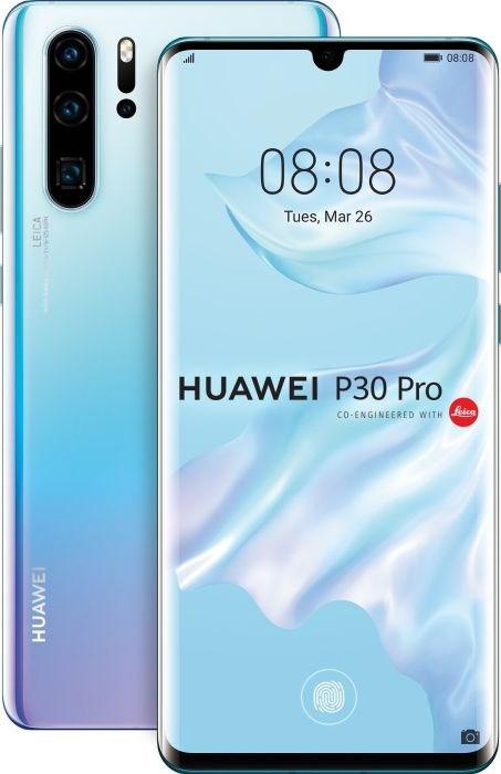
In any case, the hardware is about five years old and confusing. The battery in particular seems extremely weak. The product data on Galaxus states a battery life of three hours, which seems a bit meagre to me. But the figure is consistent with the battery capacity of 1000mAh. For comparison: A current top smartphone, the Huawei P30 Pro, with a massively higher system and graphics performance and a 4200mAh battery, achieves a runtime of 2 days and 4 hours before the battery warning advises charging the device at 20% battery level. Incidentally, Android would then currently be at version 10.
The Overlander would have benefited from slightly more modern hardware. Above all, the price would then be more justifiable. Furthermore, we have become accustomed to the somewhat sluggish performance of sat navs, but does it have to stay that way? A flagship sat nav would have been perfect to end this decades-long trend, wouldn't it?
Drive: On the road
As fun as it may be to mess around with the sat nav and take advantage of the tablet aspect of the device, it's not what the Garmin Overlander is made for and not why you're considering buying it. Or even made it. The important thing is how the device performs as a navigation device. The maps that Garmin uses come from OpenStreetMap, a world map with a structure similar to that of Wikipedia. Anyone can edit and correct it. In return, it is free to use and not tied to agreements with giants such as Apple or Google.

The maps are displayed in two ways. Drive mode is your classic sat nav, as you know it from other devices and as offered by Google Maps and Apple Maps.
- Screen elements are enlarged so that you can recognise them while driving
- Rest stops and car parks are shown
- Correlates maps with road view to show you the speed limits
- Measures your speed
- Has a voice output
Drive mode is what the Overlander excels at. When it comes to sat navs, the question always arises as to why you should buy one. Can't Google Maps and the competition from Apple simply replace the sat nav? The answer is Drive mode. The best way to explain this is with a comparison.
- Google Maps with Google Auto says on the motorway "Keep left at the next fork"
- Garmin Drive says "Stay in one of the two left-hand lanes and turn left towards Zurich at the next fork"
The amount of data that Garmin Drive processes and passes on to you as a driver is infinitely more complex and, above all, more useful. How many times have I heard the disappointed passive-aggressive jingle of my Android car when I've taken the wrong turn again? That never happened with Garmin Drive. Because I never have to think "Does she mean this turn or the next one?". I can correlate the voice output with the signposts and signs and road layout in real life.
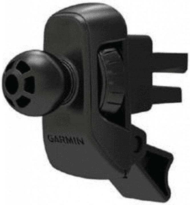
This alone proves that sat navs are not dead and should not die any time soon. If you drive a lot in unfamiliar places like Munich or Sweden, then I dare say you need a sat nav. Does it have to be the Overlander? No, not necessarily, but Garmin Drive is pretty damn powerful. Of course, it would be possible to download the application from the Google Play Store or the Apple App Store and then make the data available on smartphones and tablets for a moderate price, but Garmin obviously relies on its own hardware. Possibly because the sat nav has other sensors built in, which among other things output the lean angle of your car. It's not the most useful function in everyday life and therefore not a particularly valid argument in favour of its own hardware. Speaking of hardware: I recommend the Garmin air vent mount, because I want as little as possible on the windscreen that blocks my view.

The only annoying thing is that Madame Navi - it speaks in a female voice by default - keeps telling me that it has lost communication with the satellite(s). I'm not interested in that while I'm driving. And if I have the Overlander on the console at home overnight, then even less so. What should I do with this message? Quickly restart the satellite? Launch another satellite into orbit? Easy, no problem. I'll do it at 100 km/h in the Gubrist tunnel, if there's not a traffic jam. Madame Navi, fix it and leave me alone. As a user, I don't need to receive this as spoken information. Garmin is not alone with this warning. Every sat nav does it. Google Auto does too. Why is that? Give it a rest.
It is also slightly annoying when the sat nav has decided on a route. It takes a relatively long time for her to change her mind. For example: the most sensible route from Zurich to Schwägalp according to Garmin is via Winterthur, Gossau. But if you want to return to Zurich via Ricken and Rapperswil, Mrs Garmin is still obsessed with you turning round and driving home via Gossau and Winterthur until you reach the Ricken Pass.
Explore: When you have arrived
At some point, even the nicest journey comes to an end. If you're driving on the open motorway in Germany, it usually goes faster. What a pity. Somehow not. At your destination, you can press "Explore" on the home screen. This will show you points of interest in the immediate vicinity. Petrol stations, service stations, campsites, places of interest.

I'm somewhat ambivalent. I can see the point. Explore is practical, but somehow superfluous. And it takes the fun out of exploring. You can sit in your car, press around on your tablet and then just walk purposefully from A to B and voilà, point of interest. Where's the excitement in discovering a new city? Out in the wild, in the wilderness like you see in the Overlander advert, I can imagine that you would like to know where your next camping option is. But for the majority of users, Explore is a gimmick and not necessary. And when in doubt, Google is faster.
The question of price again. We are currently looking at an old operating system, old hardware, a lack of waterproofing and superior navigation. Now useful environmental data may be added. And you pay 730 euros for that.
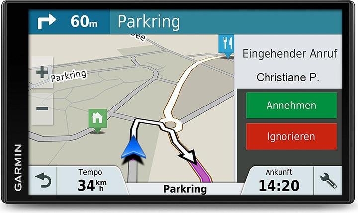
It's worth it for the navigation alone. But the question is whether it could be cheaper. The answer is yes. You can. With pretty much any other Garmin sat nav. This one, for example.
This doesn't have Android on it, but the map material that the sat nav accesses is the same.
Or, of course, you can somehow manage to rip the navigation software from the Overlander. I'll have a look...
Journalist. Author. Hacker. A storyteller searching for boundaries, secrets and taboos – putting the world to paper. Not because I can but because I can’t not.
